A mountain of paperwork

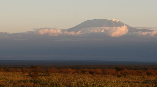
Mount Kilimanjaro, seen from Kenya.

Later in the day, and after I got into Kenya, I was finally able to see the Kilimanjaro, after the clouds unveiled it. Getting out of Tanzania and into Kenya was easy.
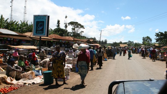
Small villages pepper the south slope of the mountain.

I was first convinced I got lucky when officials asked me for US$25 for my visa, when I projected to spend US$50.
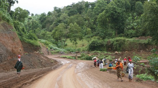
Driving the slopes of Mount Kilimanjaro.

But few minutes later, I found myself paying an extra US$40 for the road tax. I was alone at the border post, but everything is going slowly. I got out of the office around 1 p.m., and saw that the clouds have moved a little, partially uncovering the mountain. I drove away and easily found an ATM at Oloitokitok (Good luck for remembering this name), the first town after the border.
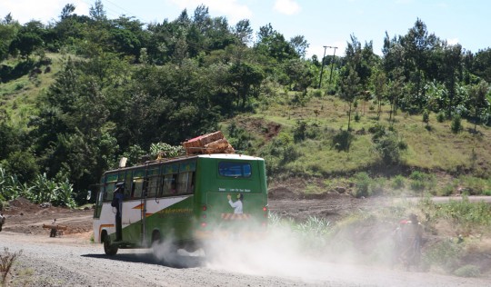
Going down toward Kenya.

My plan was to go spend at least a night in the Tsavo National Park. Unfortunately, the road being in state of repair, there was no sign and I could not find my way. As a result, I changed my plans, and decided to get to the famous Amboseli national Park. After a bit of time searching, I found a track going there, but when I arrived at the gate, I found out it would cost me US$100 a day to be in the park!
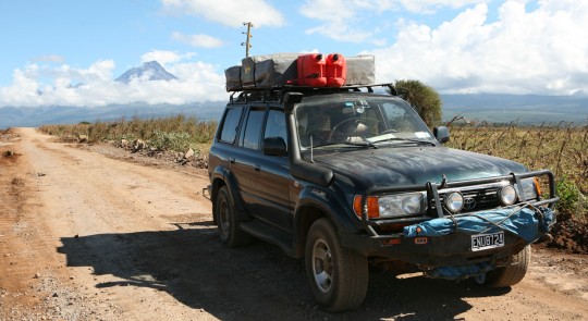
Clouds are unveiling part of the mountain.
Clouds are unveiling part of the mountain. As some of you noticed, I changed my NY plates to get more generic ones. Discretion in some of the upcoming countries will be important.

Ridiculous. The cost is similar than in Tanzania. As much as I want to take advantage of my time in Africa, I can’t afford such an expense. Why would it be so much more expensive than in South Africa, or Mozambique? I am pissed at the overpriced fee, and decided to leave at once. At this point, it is already time to find a place to spend the night, and there is not much in the area.
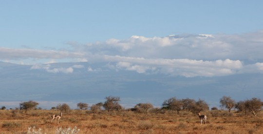
The mountain, seen from Amboseli, where I stayed just few minutes.

With that in mind, I stop in a small village, and ask if it would be OK to spend the night there. Unfortunately, the men are at a ceremony somewhere else, and women can’t give me the authorization. I continued north. After a while, I spot a sign advertising a nearby camping. I leave the road and discover a place with no water and electricity but few local guys thinking they will become rich soon.
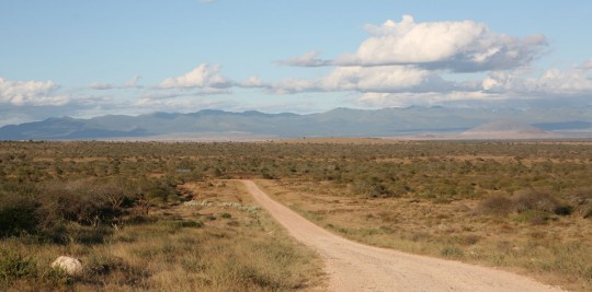
Amboseli’s tracks.
Amboseli’s tracks.

To this effect, they ask me US$40 to spend the night there. Now I am really pissed and tired. Will it be the same everywhere? I leave without a word. I am so upset that I decide to drive all the way to Nairobi, where I know it ill be easier to find a place to rest.
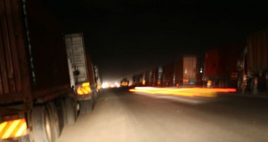
The infamous experience of driving at night in Africa.

I drive for hours in the night, which is hell with all the slow trucks and crazy drivers always ready to pass with no visibility whatsoever. This is definitely not my lucky day. Fortunately, in Nairobi, I find the excellent Upper Hill Camping (US$6 a night).
I still want to see some wildlife, and project to get out of town again as soon as I can. It is now Sunday morning, and I decide to stay again for the night, and be at the Ethiopian embassy when it opens on Monday. I hear it takes 48 hours to get a visa, which I would spend with giraffes.
I expect this visa quest to be just a formality, but of course, after so long on the road, I should have known better.
The Ethiopian visa is the first one on my whole trip I can’t get directly at the border. It is the first of a long series. I do know that I will have to do some advance work for countries like Saudi Arabia, Iran, Pakistan or India, for example. Some of these visas will be long or tricky to obtain. But who would have imagined that the Ethiopian visa would be trouble? After all, many overlanders use the east road to go through Africa, and the visa is often obtained in Kenya…
But not in the past few weeks. After I get rejected on this Monday morning, I go on the internet, and find out that few other people recently got into the same trouble. As me, they were refused the visa on the ground that they were not Kenyan residents.
I look at other alternatives. There are only two. I can drive northeast to Sudan and cross the whole country. Difficulties would be huge, including bandits on the way, terrible tracks to progress on, and a lot of work to find places to stay and food.
The other option, which I chose to give a try, is to send my new passport via DHL to my parents, so they can apply for me at the Paris embassy. Few hours later, it cost me US$50 to send the passport, application and an I.D. picture to Europe.
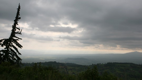
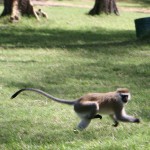
Shortly after exiting Nairobi, I enter the Rift Valley.
Monkey
Monkey

I then spend the afternoon visiting Nairobi, a resolutely modern city. After another night at the Upper Hill camping, I leave in the morning. I figure the paperwork issue will take at least a week to get solved, so I better visit Kenya.
I selected to explore the Rift Valley, which stretches 6,000 km (3,750 mi) from the Middle East to Mozambique. In Kenya, old volcanic peaks line the valley.
Before I leave, I catch a movie and get enough groceries for the next few days. Then, I drive 100 km (63 mi) to Lake Naivasha
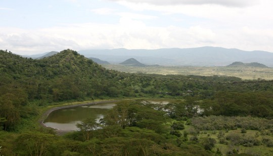
The old crater is now a lake home to flamingoes and water buffaloes.

I sleep at the not-so-charming Fishermen Camp (US$ 6), on the south shore. Around noon the next day, I get to the next place on my list. A small park, set around a volcano crater which would be my home for few days.
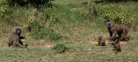
Baboons along the road.

The place is a pearl. I projected originally to spend only one night, but stay there for four days. There, I am able to see a lot of wildlife, and walk around the rim, which is not permitted in National Parks.
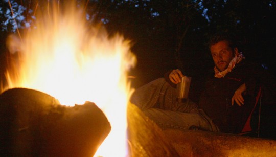
Spending evenings in the Rift Valley.

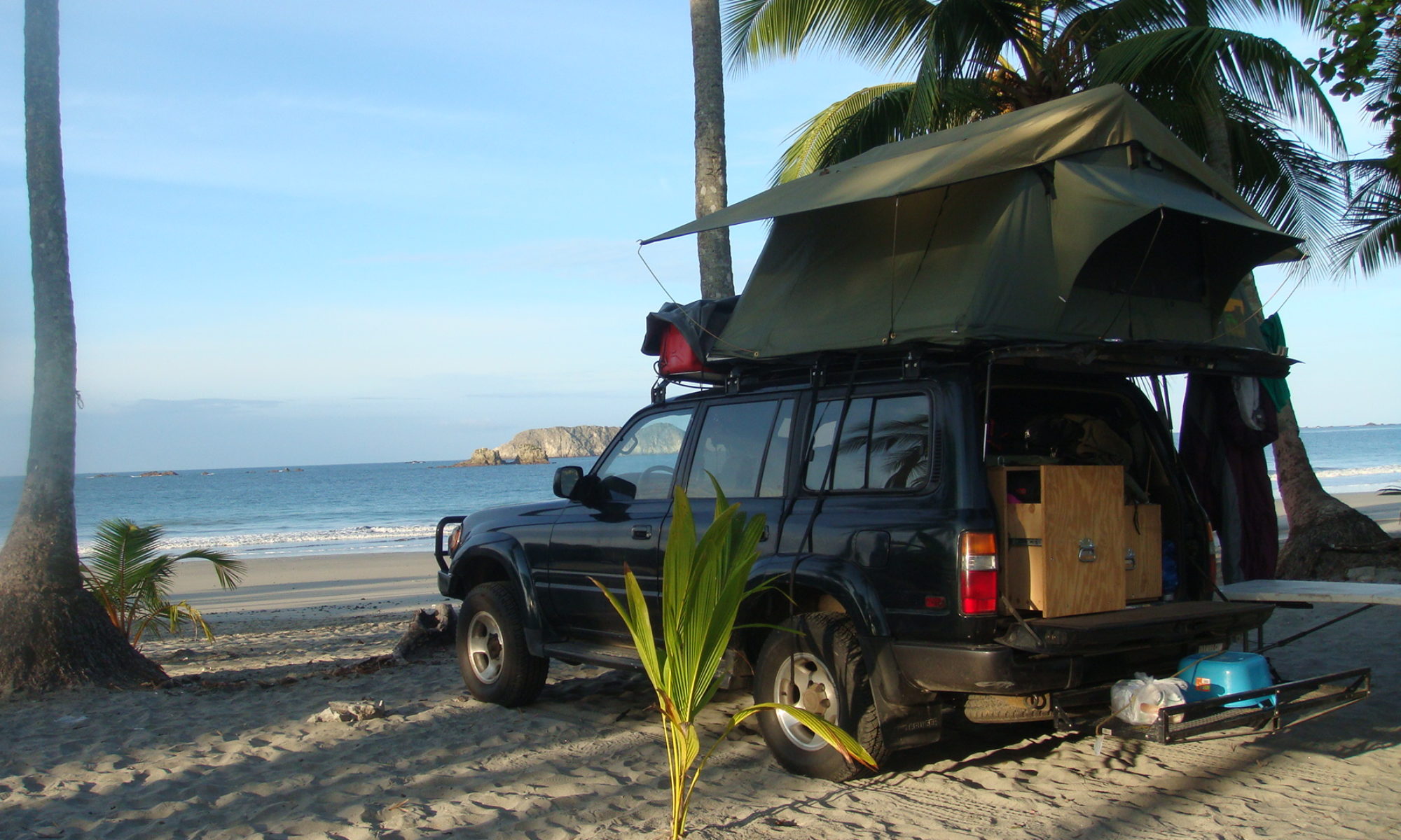
I can’t recommend enough this place. Entrance is US$10, and every night at the camp cost US$6. I am the only camper there, and every night, someone comes to build a fire.
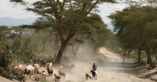
Driving to the Crater Lake Camp.

During the day, I walk around the crater, and get lost in the nature. At the end of the afternoon, it invariably rains for few hours, which I spend in the tent reading. Then I cook.
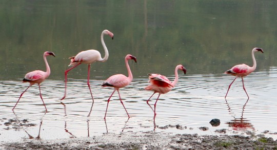
Flamingoes on the shore of the lake.

On Thursday, I get a quick access to the internet, so I can read an email my mother sent me. She thinks she will be able to send me back the passport with the visa on Friday. This means I could get it on Monday. Let’s hope…
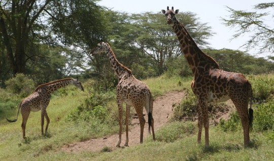
You can get very close to the wildlife, by foot.

On Saturday I leave the camp, and advance further north. In the highlands, I get to Nyahururu, an ugly town close to a cascade I want to see, the Thomson’s Falls.
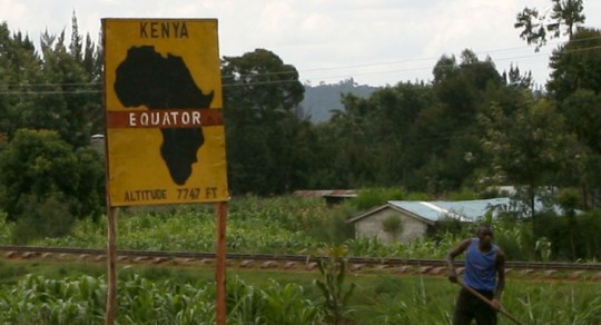
Passing the Equator line. Last time was in Ecuador.

I spend the night there, and do a short trek to the bottom of the falls. It is very nice, but there are too much people everywhere trying to sell you things, wash you car, and take picture of you with some tribe members. This drives me crazy, and after my little walk, I am back in the truck, taking the direction of Nairobi. I plan to change the oil of the truck on Monday, and if I get my papers, leave the city immediately after. The next week will be devoted to what I believe will be the hardest road so far.
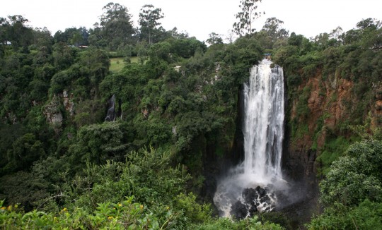
The Thomson’s Falls.

From Isiolo, Kenya to the Ethiopian border, lies the worst dirt road you can imagine. At least 48 hours of inferno. The road used to be dangerous as well because of thieves, and vehicles form a convoy before leaving Isiolo, but I get conflicting reports and I am not sure if it is or not required anymore.

NOTE: I am looking for residents of Saudi Arabia and Iran who could help me to sponsor upcoming visas. Please send me an email!
Through Tanzanian heat and rains

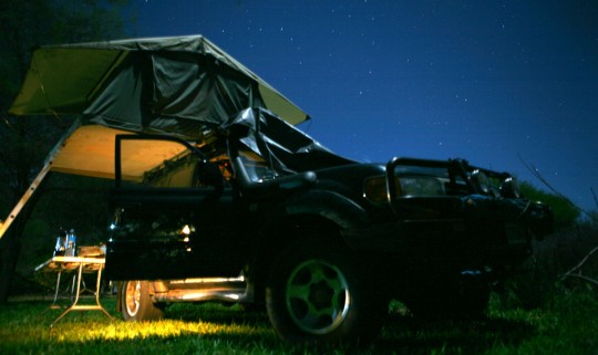
The desert climate of the Udzungwa National Park makes it easy to spot stars.

I leave the Baobab Valley campground early on the morning of May 25. I want to reach Dar Es Salaam early enough so I can stop at the French embassy and get the emergency passport procedure going as soon as possible.

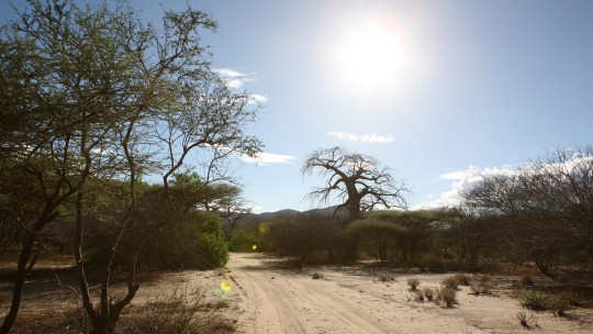
Leaving the Baobab Valley campsite.

In the past, it was possible to get extra pages added to a passport, but with all the new biometric requirements, you can’t anymore. The emergency passport is a small passport valid for one year with ten pages. It is likely I will have to stop later on to get an extra one, maybe in Asia.

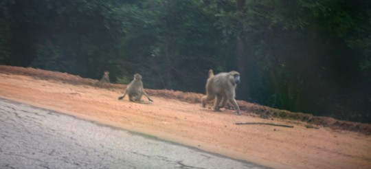
Baboons on the road. They move fast and are hard to photograph.

The road to Dar is interesting. Going east, it first travels through a rain forest, then through the Mikumi National Park.

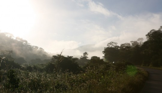
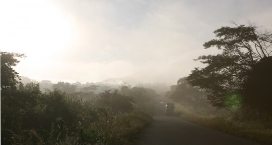
Best sights are often in the morning.

Around 8 in the morning, crossing the mountains is a guaranty of seeing the best landscape, with fog lifting up. Driving alone is a big change from the Americas. I now listen to my iPod a lot more and do fewer breaks to eat lunch. I still don’t speak to myself.

On the road to Dar Es Salaam.

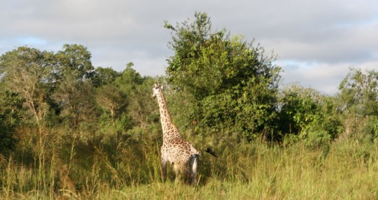
As I cross Mikumi National Park, I don’t see much wildlife. The major road divide the Park in two, and animals stay away of it, except a lonely giraffe who watch me going through and gets back eating leaves

The only wildlife I will see in Mikumi.

At 1 p.m., I am in Dar, and wait for the embassy to open. The climate in the city is brutal. The temperatures are high, at 40 degrees C in the shadow, and the humidity is horrendous. I am getting closer to the Equator, and the sun is now strong, worst than when I was in the Americas.

Waiting for the embassy to open.

At 2:30 p.m., someone accept to see me. I convince them to make me the emergency passport even if there is no emergency, and also let my present passport valid, as I need it to re-enter the U.S. at the end of my trip. They finally accept, and tell me it will take two to seven days. It is out of my hands now, and I go to the historical city center to find a place to sleep.

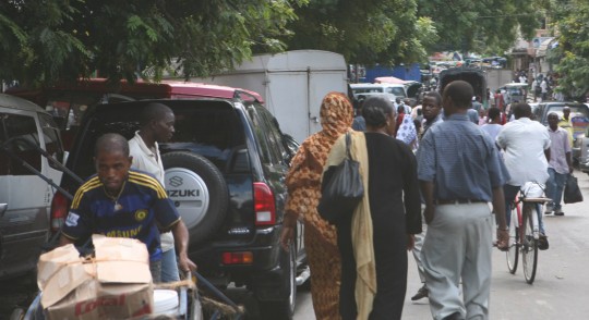
Dar Es Salaam streets, always busy and hot.

My guidebook is ten years old, and the city must have change a lot. Therefore, when I get to the addresses I have, it looks like the hotels are closed since many years. Eventually, after two hours, someone tells me they have a parking lot at the YMCA. I get there, and take a room for two nights. For 10,000 shillings (US$7.5) I can have a bed with a mosquito net, and my truck in a secure place.
In the following days, I try to survive the intense heat. I walk the streets of Dar, and enjoy this city where the Arab influence is clearly visible. People in the street are more cosmopolitan than in the other places I visited, and are easier to communicate with. Africans, Arabs, Chinese and Indians form the melting pot flooding the streets. The harbor started in the 19th century as a fishing village and is now a bustling city. Driving is a nightmare here, due to the small streets filled with people, chariots motorcycles and other vehicles.

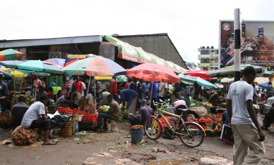
The city central “Kariakoo” food market.

The third day, I receive an email from the embassy to inform me that the passport is ready. I go pick it up at 2 p.m., pay US$40 for it, and leave the city immediately after. I will now go north to Mount Kilimanjaro, and then pass the border to Kenya.

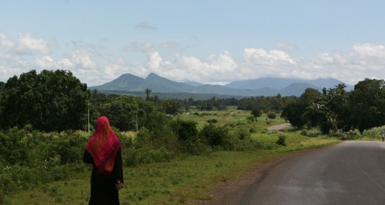
The Pare Mountains, marking the border between Kenya and Tanzania.

For a long time, I have been debating whether I should visit Ngorongoro and the Serengeti National Parks. Unfortunately, the very high price of entering and staying in the parks doesn’t work for me. Every day there would cost me at least US$100.

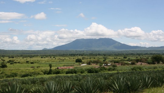
The Masai Steppe.
The Masai Steppe.

What I decide to do instead it to use a small road on the slopes of Mount Kilimanjaro, cross at Oloitokitok, and then enjoy the Kenyans parks, supposedly cheaper. It takes me two days to get to the roof of Africa. Unfortunately, the visibility is very bad, and I can’t get a glimpse at the mountains. I am not in an area where it is the dry season anymore, so in the next countries, I will get a lot of rain, which makes camping more difficult, as I have experienced in the last days. Cooking under the rain is a pain, really. Eventually I hope the sky will clear up, so I would be able to take a good shot of the snow capped Kilimanjaro…

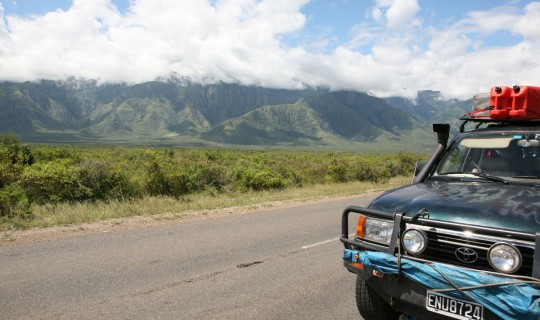
Country borders often follow physical borders. In this case, the mountains form a real wall.

I spent nights in campgrounds, under the rain or in the fog. Most of the time gas stations or hotels have an area where you can camp and cook for US$3. Today, May 29, I will attempt to take the road to the border, on the slope of Kilimanjaro. The road has the reputation to be difficult, and may be cut, in which case it will take me few hours to go back and find a more convenient road.