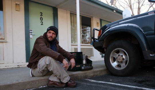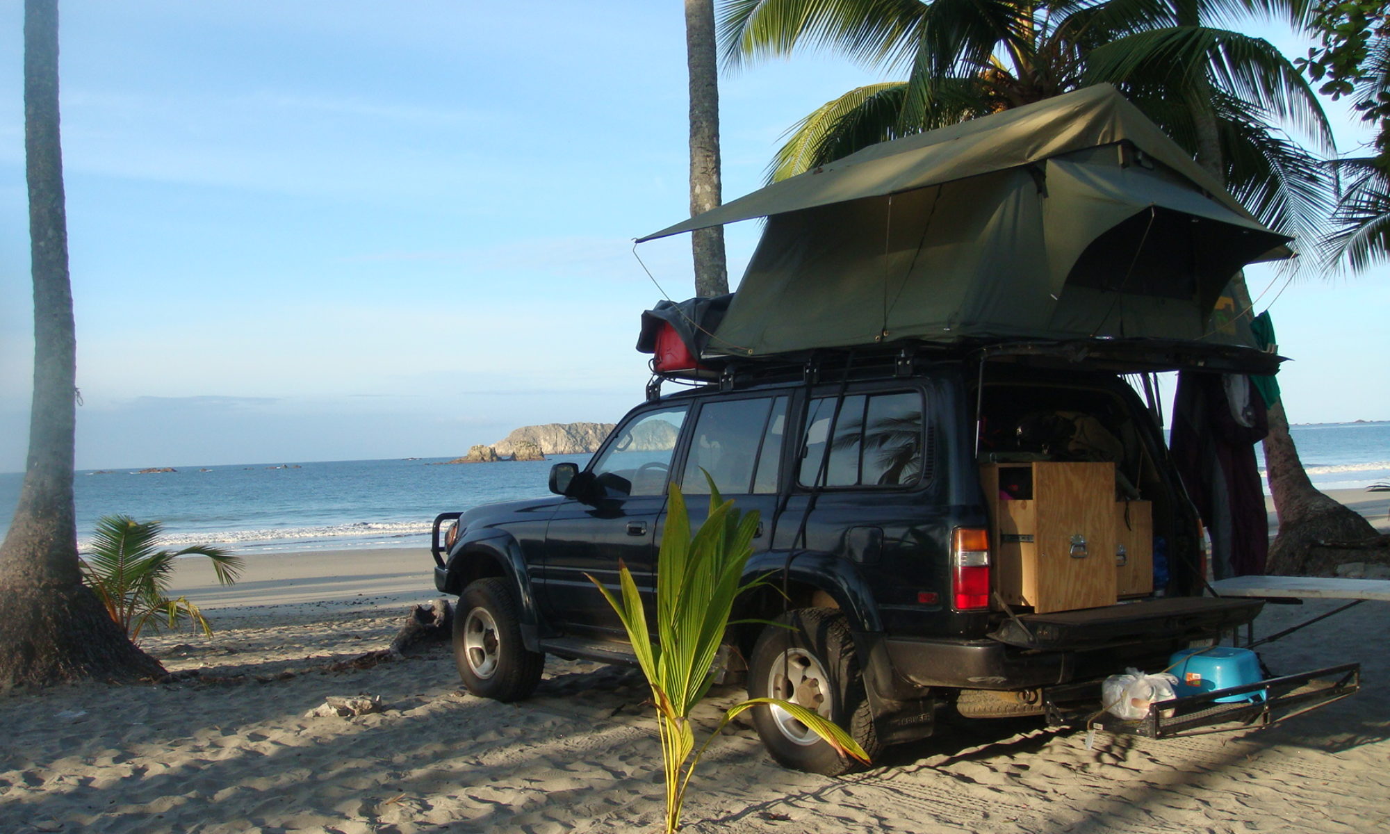
Indeed, as I am writing this, at least than 400 miles from New York City, it does look like I am going to be able to do it. On Saturday, after fifteen months on the road, I am going to reenter the city via the George Washington Bridge.
For the longest time, while advancing through remote countries, I have been reluctant to say I was driving around the world. I always preferred to declare I was “trying” to go around the world. Now it may be time to change that.
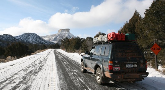
Few days back, after spending the night in southeast Utah, we were back on the road and passed the Colorado state line. We were still going through arctic temperatures, and I couldn’t help but be amazed that the truck never gave me much problem, no matter what climate I was in. In temperatures ranging from -30F to 130F, the vehicle started right away each time. The steering box is not leaking as much now, since the liquid is not as thin in the cold, and my fridge doesn’t complain either after having kept food cold through the hottest climates on earth. Basically, me and my dad are the only one to object to the ridiculous freezing temperatures.
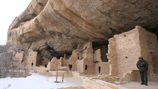
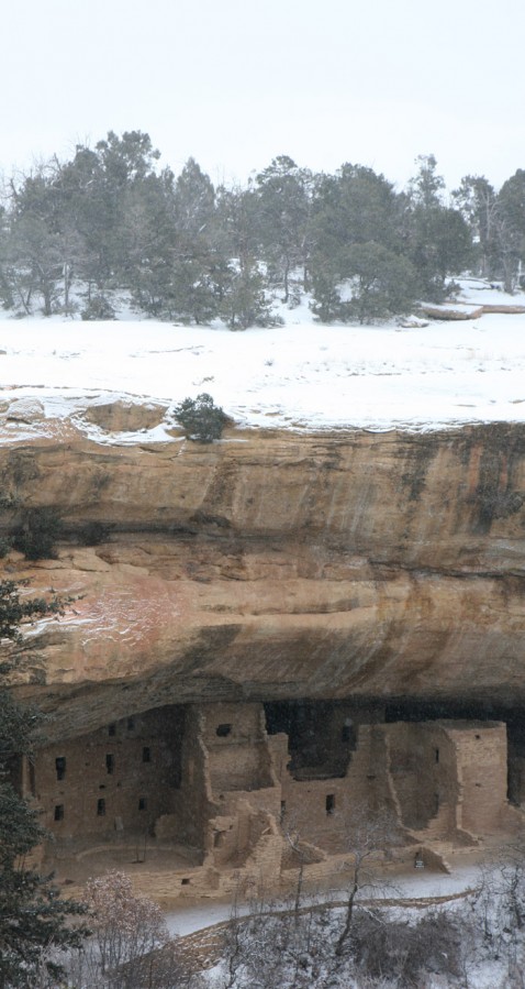
Shortly after entering Colorado, we leave the main road to penetrate the Mesa Verde National Park. A civilization of Pueblo Indians lived in the cliffs there around AD 1,200.
Nobody knows why they disappear in the next hundred years. Disease or just looking for better life conditions may have been the cause. Regardless, it is fascinating to visit the dwellings protected from the natural elements by the cliffs.
The visit is very uncomfortable because of the cold and snow, and soon enough we are back on the road.
I drive through the mountains of Colorado after stopping for lunch in charming Durango.
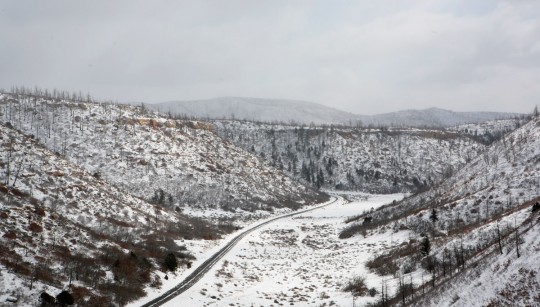
Everybody does a good work at keeping the road relatively free of snow, so the progression is easy. We spend a night in Alamosa, and in the morning I spend some time finding a new power converter for my laptop, as I forgot mine in the previous motel. I guess I can’t complain, given that I really didn’t loose much in this long trip.
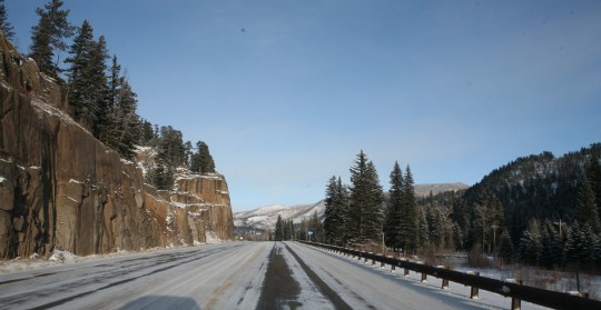
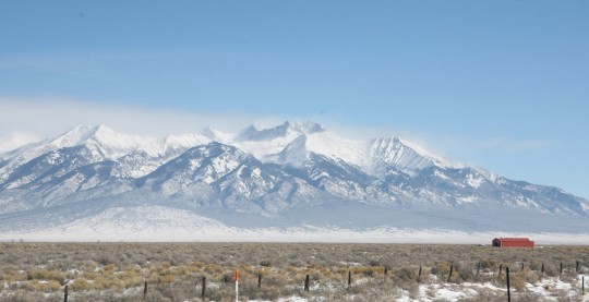
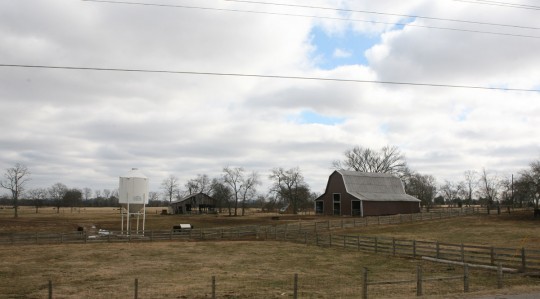
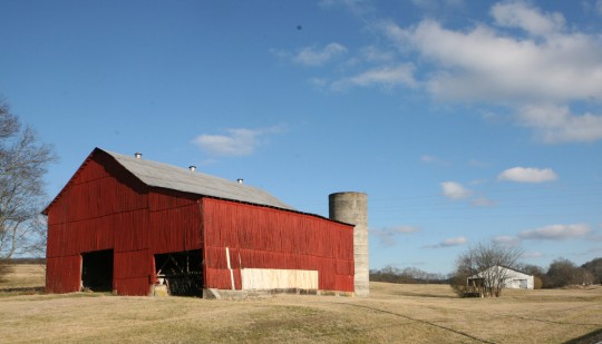
Once the mountains are behind, we go a bit south and enter Oklahoma. It is the first of many days driving through monotonous landscapes. There are not many photos to take, and I apologize for the banality of the ones I present here. As I was traveling though foreign countries, I noticed that most inhabitants spent a lot of time outside, therefore I could witness easily their intimate life. Now, because of the cold and the very different ways of our western life, I am just going through mostly empty landscapes.
Many people think my accent is pretty funny tough, when I stop for food in restaurants along the route. It seems like they don’t see many foreigners driving through. Food is not great in the many places we stop at, but the option of cooking outside is not here anymore. It is beyond doubt not a culinary tour anyway, and we eat in the cheapest places around.
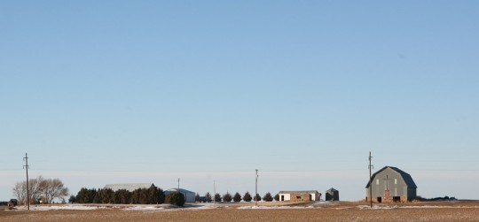
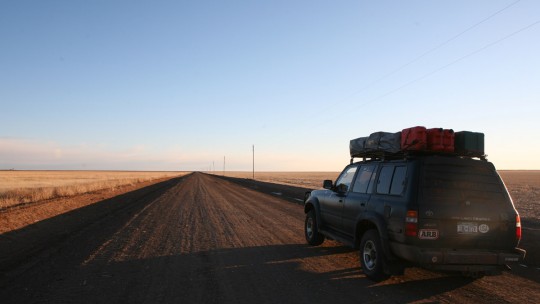
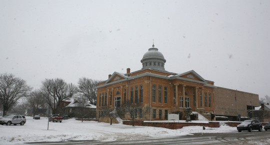
We stop quickly in Guthrie, a town north of Oklahoma City, famous for its brick and stone Victorian buildings. The place seems to be empty of its inhabitants as people are awaiting a fresh snowstorm later in the evening.
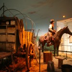
After a night in Oklahoma City, we visit the Cowboy and Western Heritage Museum, which is fun and features interesting painting exhibits.
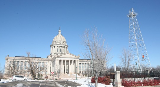
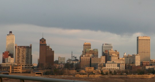
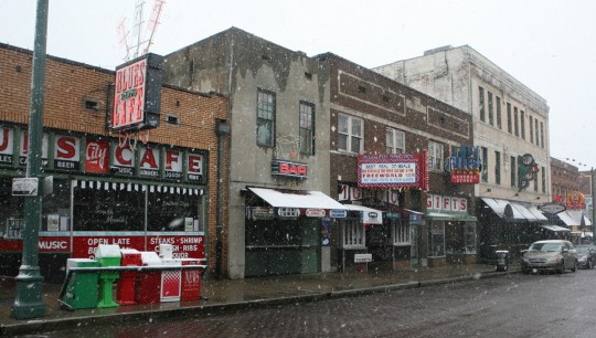
More driving brings us to Fort Smith, at the border with Arkansas, where we spend the night. The following evening sees us in Memphis, Tennessee. The place is somewhat depressing usually, but even more under the snow and bad weather.
In the morning we walk in the city center, and here too, streets are empty. Poverty is rampant in the city named after the capital of ancient Egypt.
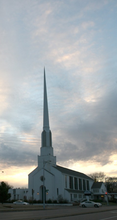
I can see my father begins to be tired by the long trip. Maybe I miscalculated a bit when I planned the trip back, as it is a lot of driving every day, more than what I am used to.
Egypt is on the news every night as well, and I think of the people on the road in Africa, trying to do the eastern route as I did last year. It was already not easy, but now it has to be more difficult.
The Djibouti-Yemen route I used may see an influx of visitors now, even so I believe I was the first one in many years to have used it.
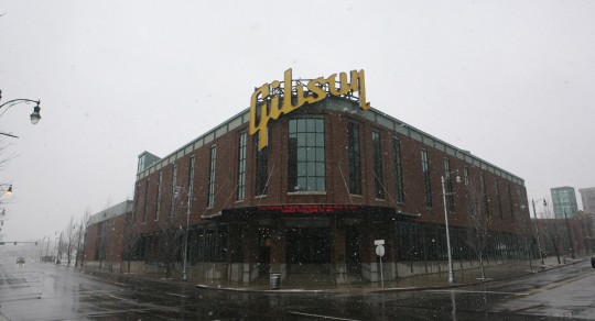
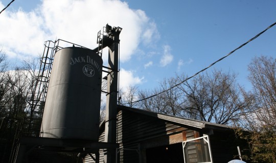
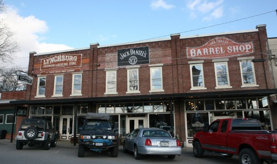
Back in the U.S., we continue to drive toward Nashville, where I have diner with Mrs. Marti, with who I have been emailing since the beginning of my trip. A little incursion south the following day allows us to visit the Jack Daniels distillery in Lynchburg. It is worth to visit if you are around, but I would not do hundreds of miles to check out the site.
The county is dry, so I can’t even get one shot for the road before I leave for Chattanooga. A nice surprise awaits me there, as the city is very agreeable. Katie – another follower of the blog – takes me around in the nighttime for a visit, and it looks like people have a nice quality of life and enjoy living there.
Named the “dirtiest city in America” back in the 1960s, you would be surprised by its evolution. Nowadays it is very green, there are plenty of waterfront paths for pedestrians and bicycles, a pedestrian bridge also across the Tennessee River, and many museums can be found across the city.
Too bad I am not visiting during the summer, I bet there’s enough to spend few days without getting bored. But I have to get going, and after Katie gives me nice samples of southern food, I am back on the highway.
This time I am going north, and for good. There will be no more sinuous paths. I am going to New York, and should be there before the end of the week.
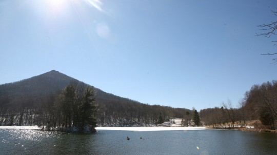
Crossing Virginia takes a long time, especially because I try several times to get to the Blue Ridge Highway. The 75 years old road was part of the New Deal’s efforts to provide jobs to the unemployed of the Great Depression. I already used part of the ribbon of highway along the high Appalachian ridges when I left NY in 2009, and wanted to take the same route to come back.
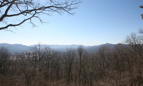
Unfortunately, after driving few dozen miles, the road was closed. Once again we were punished by the snow. We attempted to reenter the road several time at different points of its 400-miles path, but it was closed everywhere.
On Thursday night I arrived in Winchester, northern Virginia. I was now only a few hours away from New York.
