
We went through Neiva quickly in the morning, anxious to get to Tierradentro, a remote place in the mountains, before night. We stopped briefly in Campoalegre to celebrate the fact that the truck had 100,000 miles on the counter, and marked this anniversary greasing the tired chassis. I wanted to do an oil change as well, but the desired oil was not available, as the local temperatures were higher than the ones we will encounter in Peru and Bolivia.
 It is also important to stop and speak to people to try to get the latest information on the road condition as well as possible guerilla activities. For the latest, the situation has improved considerably, and it looks like everything is quiet north of Popayan. After this city, sticking to the Pan American should be enough of a precaution, in addition of not driving at night.

The road to Tierradentro is not the best, and at time, can be cut in several locations. Luckily, the road, even if pretty rough, was drivable. Most tourists prefer San Augustin to our destination, and because Tierradentro is more remote, it guaranties the fact that the mountain sanctuary will not be flooded with people.

The road, through canyons and hills was fantastic, and the three-hours drive going as high as 2,500 meters (8,000 feet) was exciting. As usual, mountains are the best landscapes we cross, and it is even nicer when you know not everyone can access its marvel.

Tierradentro is home to a civilization that disappeared around the 9th century AD. Remains include underground tombs, as well as statues, as in San Augustin. The region has seen a strong guerrillas activity over the years, and only in the past four years it is possible to explore these tombs without being afraid of having to dig your own.


To access the sites, we had to buy tickets at the museum (US$7), and first walk for 25 minutes up the hills. There lays a first group of tombs. We went down in the cramped caves, as deep as 9-meters (30 feet) and saw admired the painted walls and ceilings.

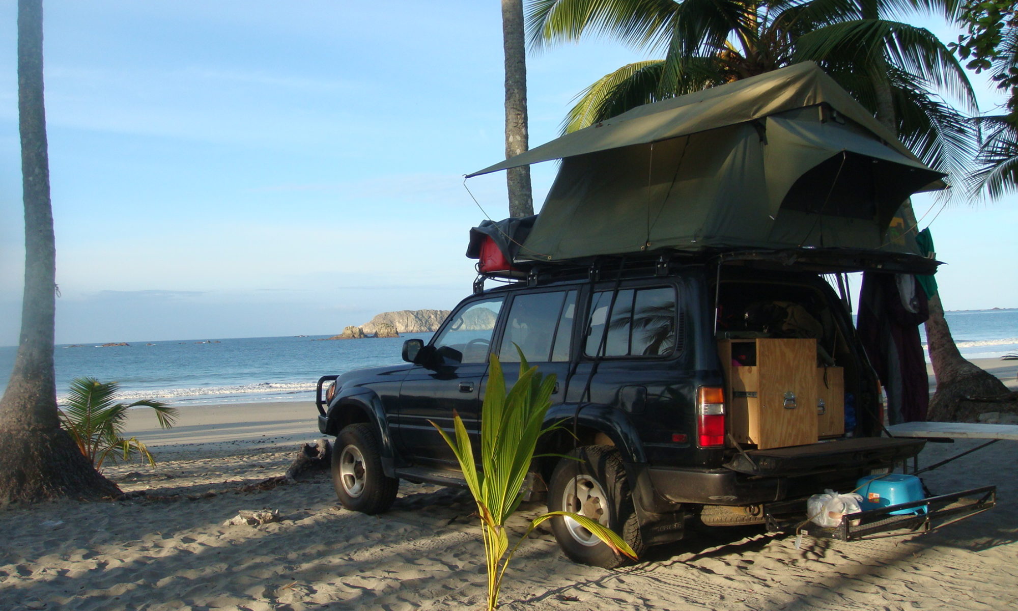
More funeral temples awaited us 20-minutes higher, carved as well in the soft volcanic rock. After another 20 minutes walk, as our reserve in water was disappearing, we reached El Tablon, where statues – 500 years younger than the tombs – where exhibited. From there we went back down to our campsite, in the back of the Hotel El Refugio (recommended, camping US$8 for two people and a car).

After drinking all the water we could put our hands on, and cooking lunch, we went back on the road to try to reach Popayan before dark.
 The road was spectacular as well, and did bring us 3,500 meters high (11,500 ft) in a different landscape, typical of higher altitudes. There was a lot of roadwork going on, to reinforce the weak dirt road structure and add pavement.

At one place, and few minutes before we passed, a loaded truck felt down 50 meters, taking half of the road along.

The path itself could be pretty skinny in some part, making passing or crossing other vehicle perilous.


I would have love to spend a night somewhere in this dry landscape, but even if you know the area is now completely secure, you always feel a bit better in unknown territory if you speak to someone first, to make sure camping is not a problem.

Eventually, we reached Popayan in one piece around 4:30 p.m., and began to look for a site we could sleep at.


