Who needs a road?

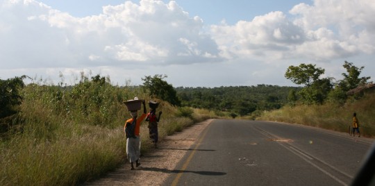
Eventually seeing real Africa, as I am going through villages on dirt tracks.

Shortly after I wrote my last post, and before I left Gorongosa, I had dinner with South African travelers. In a magazine, they showed me an article relating the attempt of an expedition to trace back the last trip of Mary Livingston. Two days later, they would try to follow this route as well, leading into Malawi. This was only possible using a barge to cross the Shire River, since the bridge in Vila de Sena was not operational anymore. On the spot, I decided to change my route and make a run for Malawi. I was ready for a change in landscape, tired of the flat country of Mozambique. The following morning, I exited the park, and went east.
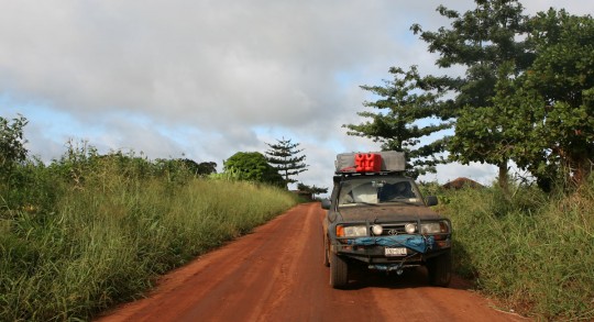
B_dirt_road_car
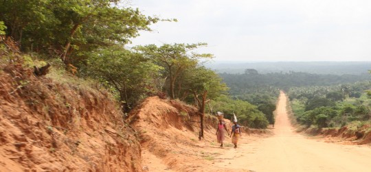
Beginning a long trip on dirt roads

Few hours later, I crossed the Zambeze River, and after few miles, left the main road and began to work my way on a dirt track. I didn’t suspect I would follow such track for the next 24 hours. The day was cloudy and dark, and rain was falling since noon. It took me three hours to do the 140-miles (224 km) to reach the vicinity of Mutarara.
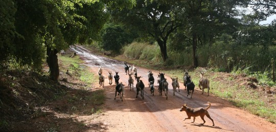
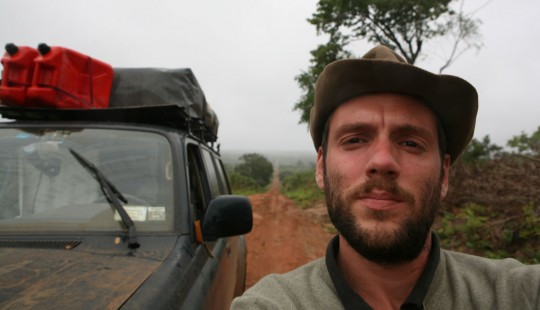
Getting some company as I leave the main road to work my way to the border

There, around 4:30 p.m., I learned that due to heavy rains, there was no boat crossing the Shire. I had no choice but to backtrack. And quickly, as night would come fast. Indeed, it was pitch black when I got to Morrumbala, a town I crossed 60 miles back on the dirt road. I was shared between staying there for the night or going back to the main road, and probably driving all night long since there was no accommodation around. Staying would have been great, but where? As I was roaming the street of town, I spotted a building with the European Union flag. It was the office of an electric company for the region, getting grants from Europe. Under the rain, they opened the gate, and allowed me to stay for the night. I was done with another long day of driving during which I have been afraid every minute to discover the road under water.
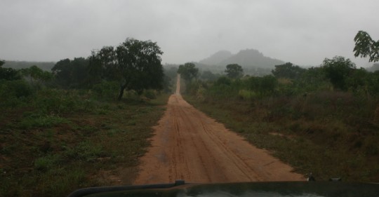
Resuming the trip in the morning

With the staff of the NGO, we looked at military maps they owned, and one of them explained to me which route I should follow to reach the border with Malawi. I was to reach Derre, then Macatanja, Liciro and finally Milange, the border town. It would take me 6-hours if the road was not muddy or submerged. I decided to give it a try the following day. Luckily, there was fuel in Morrumbala, and I could get enough to go and backtrack if something went wrong.
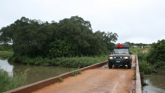
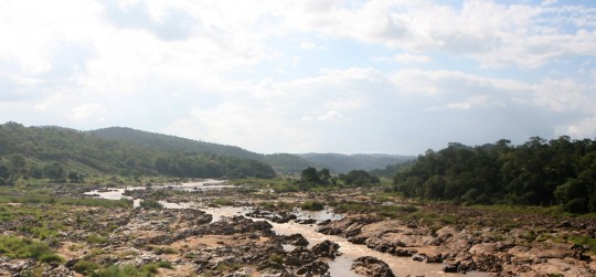
As long as the river is under the bridge, I am good to go.

I left very early in the morning, got a full tank of gas, and went east. The road is all right, despite the fact that it rained all night. After few hours of driving, I took a larger dirt road north, and as expected, 6-hours after departure I arrived in Milange.
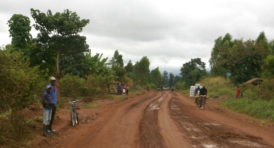
The dirt road gets wider as I approach the border with Malawi.

The border crossing is easy and doesn’t cost me anything. I now have only one blank page in my passport, enough to get the Tanzanian visa, get to Dar Es Salaam and obtain an emergency passport. As soon as I am on the Malawi side, I am welcomed by tar roads.
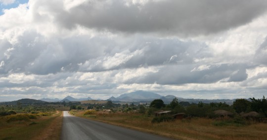
I am glad to be back on paved roads

Along the way, I see a lot of people working in the fields, picking leaves. At first I am not sure what it is, but soon enough, I realize this is tea.
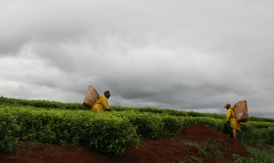
Tea country
Tea country

I get to Blantyre where I go in a supermarket, the first I see since South Africa. I get plenty of groceries, and leave the city immediately after, just taking the time to get some cash at an ATM. I am not sure what the exchange rate is, but I take 20,000 at the machine, the maximum suggested amount.  I go north, and when I reach Zomba, it is dark. It is also cold, and I am now surrounded by forest at 1,400 meters high. I set up the tent, fix dinner, and go to sleep.
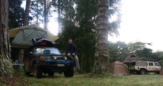
Trout farm campsite
Trout farm campsite

The campsite I found is located in a trout farm (R600, still not sure what it is in US$). In the morning, I take a walk in the forest and take a hot shower. This is strange as in South and Central America it is difficult to find hot showers even in hostels, but here in Africa, you find it in the most unexpected places. Usually, thereís a permanent fire under a water tank which provide the needed water through the day.
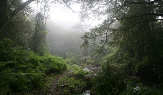
Deep forest on the Zomba Plateau

At 10 a.m. I am gone, and driving toward the Lake Nyassa, also called Lake Malawi. The lake stretch 500-km down the eastern border of the country.
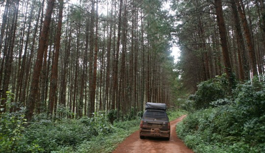
Crossing the forest and reaching lower altitudes

I reach the lake at Senga Bay, east of Salima, after another day of driving and a delay caused by an error in a map. There are no signs to be found, so you are never entirely sure of which road you are taking.
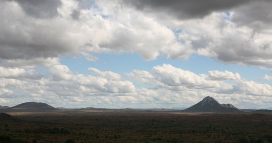
A beautiful mountainous landscape characterize Malawi

Inhabitants smile all the time and are helpful, but a bit pushier than in Mozambique. They speak English which is easier for me to deal with than Portuguese. Tourism seems more developed here.
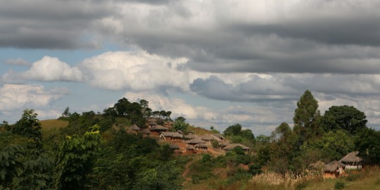
Village in the mountain as I get closer to the Lake Nyassa

In Senga Bay, I find a camping on the border of the lake, and relax on the small sandy beach. In the next days, I will be following the water until I reach the Tanzanian border.
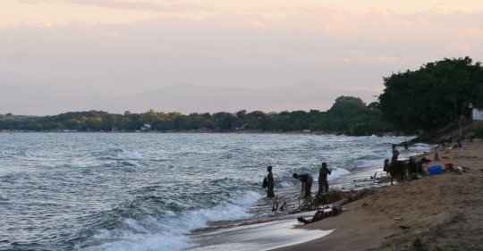
Lake Nyassa, also known as Lake Malawi

The hard way north through Mozambique

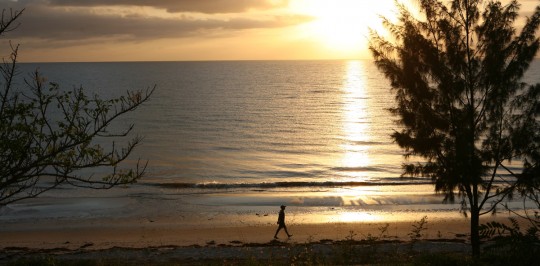
Sunrise at Inhassoro

Not much to report about these long days going up Mozambique. The 1,600 miles (2,500 km) coastline takes a lot of time and endurance to go through. Basically, I have been following the coast along the main road, and every night, I get to the beach where there are campgrounds.

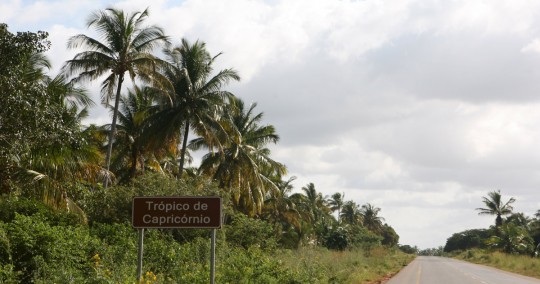
Passing the Tropic of Capricorn line.

The landscape sometimes reminds me of Nicaragua, with its always present palm trees. The roads are getting harder the deeper in the country I enter. After stopping in Xai-Xai, I spend one night in Zavora, then two nights in Tofo. 280-miles later (450 km), I am in Inhassoro, after a difficult day.

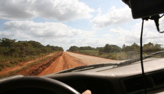
Roads are so bad people rather drive on the side of it.

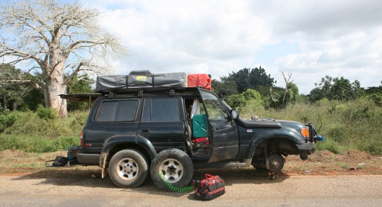
After a 100-km stretch of very bad road with huge potholes and seeing a lot of people on the side with diverse problems, I myself stop to check if the truck is still in one piece. Sure enough, I have a puncture on the front right tire.

Fixing a tire.
Fixing a tire.

That would not be a big deal usually, and after plugging the hole, I am getting ready to continue my drive. But the badly shook car now has another problem. For some reason, the alarm system got damaged. With the siren blasting and the truck refusing to start, I have no choice but unplug the battery and un-mount the dashboard to hot-wire the truck. It takes me an hour and an half to find a fix to the problem, after which I am on my way.

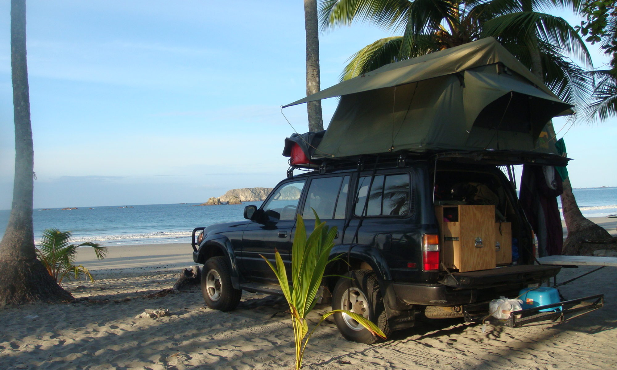
Every night, I reach the beach via dirt roads to camp.
Every night, I reach the beach via dirt roads to find a campsite.

I make it to Inhassoro around 5 p.m. and un-mount again the dashboard to fix properly the system, which takes me two more hours. Exhausted, and after a shower I am lucky enough to find a very nice restaurant in the dilapidated resort where I camp

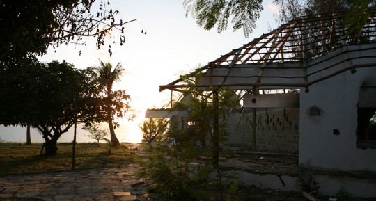
The tourism infrastructure has hard time getting back to normal after what the country went through.

There, I am happy to have grilled fish and well-deserved Heinekens, listening to the sound of the waves crashing on the beach. It definitely gives you a good feeling when the day was full of problem and you were able to overcome them and put some miles behind.

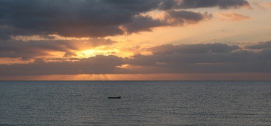
Sunrise on the Indian Ocean.

I wake up early the following day, knowing I have again a very long stretch to come. I get a full tank of gas in the beach town as by now it became extremely difficult to know what will be the next fuel stops.

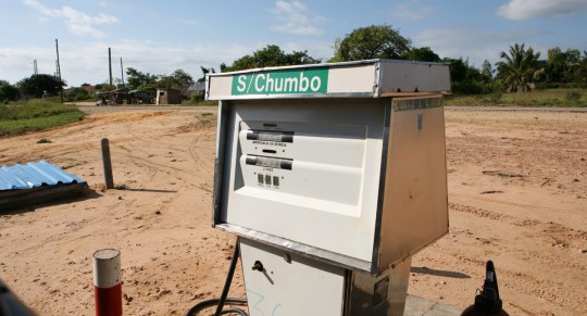
Not much details on the type of fuel you fill up with.

There are no other choices in stations than one type of petrol and diesel, and no one knows what the octane of the petrol. Station attendants operate pumps with generators, as electricity is not available, or can’t be depended on.

The landscape becomes greener, and palm trees less dense as I progress toward the north.

The same night, I reach the Gorongosa National Park. I was very curious about this stop. Before the war, it was known as one of the best parks in Africa. The wildlife was decimated in the fighting and it will take a while for the park to recover its former glory. I was looking forward to see a park that would be less touristy than Kruger, even if it meant fewer animals. Unfortunately, as I get there, I learn that there has been too much rain, and the government closed the roads of the park… Just my luck after such a long drive.

Rio Pungue
Rio Pungue

Rain already prevented me to visit the Machu Picchu, got in my way on the Bolivian salt pan, and now I can’t see my friends the monkeys because of it.
Regardless, I can use the campground there, so I am just happy to crash for the night. Today, I am still there, as I have to take care of such prosaic tasks as laundry. I am also recovering from a bad blister on the neck caused by the blazing sun, and some insect bites in a place that makes it hard for me to walk. The following days will be even harder, as I am just half done with the country, and still have the north part ahead of me, the harder one to cross. Up there, there will be long days of driving, and less accommodations and fuel stop to be found. I am afraid also of the internet availability, so don’t be worry if there are no postings for longer than usual. Wish me good luck.