Street of old BogotaModern BogotaSoup with eggs and milk
Bogota is the third-highest capital in South America. In the upcoming weeks, we will visit the highest – La Paz, Bolivia – and the second highest – Quito, Ecuador.
We arrived in the city Thursday afternoon, and decided to stay until Sunday. Unfortunately Frank – who we were coming to visit – was dispatched to Haiti to cover the events. We were still able to take advantage of his hospitality, and settled in the AP bureau, located in the northern part of the city, an upscale residential and business area.
Fixing a flat tire in front of the AP bureau in Bogota
The same night, as well as Friday night, we went out in the Zona Rosa, a neighborhood where you can find upscale watering holes as well as outlet where highlights of American cooking such as McDonalds and TGI Fridays can be found.
La Candelaria
We spent the weekend in the old part of the city, called La Candelaria, a quarter of restaurants, churches and museums.
The city is bordered by a mountain range on the east, and has grown along the north-south axis, the south part being the lowest income area. At night, temperatures drop under 50F (9C).
Plaza Bolivar
In the old city, we visited the Plaza de Bolivar, and went east deep into La Candelaria and its museums, my favorite being the Botero Donation. The museum features paintings from the Colombia most famous artist as well as works from its European counterparts.
Typical Botero painting
We continued our exploration of the city and visited the Iglesia de San Agustin, a necessary stop in my mind, even if not mentioned in guidebooks, with it’s beautiful paintings (sorry, no pictures allowed).
Iglesia de las Aguas
On Saturday, we went up to the Cerro de Monserrate, a church overlooking Bogota, accessible only via cable car and funicular. The view of the city from the 3,160m-high (10,400 ft) peak is splendid and worth the detour.
Bogota view from the peak
It was also nice also to stroll along Carrera 7, the main shopping street of the city, bordered by more modern buildings.
Crowded street in Bogota
Like Cartagena, Bogota, with no shortage of cultural and leisure venues, looks to me like a city one could live in. What a contrast with cities in Central America, which seem in many ways more exotic. So far, the violent reputation of the country seems to be behind, and Colombia would be an ideal touristic destination, especially if you can spend at least two weeks exploring beaches and mountain ranges.
La Candelaria
We left Bogota on the Sunday morning, and continued on our way south to Neiva.
Leaving Bogota
At the end of the day, as we were getting closer to the city, we stopped at a farm where people were nice enough to let us spend the night. We heated up tamales, and went to sleep with our best friends, the mosquitoes.
There are two ways to reach the south of Colombia from Cartagena. One can take the west road using the Pan-American Highway through Medellin and Cali, or the east road, through Bucaramanga and Tunja. We took the latest, in part because it is less touristy, and also because there were some people we wanted to touch base with in the capital.
After getting the containers guarantee back on Monday morning, we said good-bye to our French friends. They would use the other road, so we were splitting. We may meet them later, around Popayan.
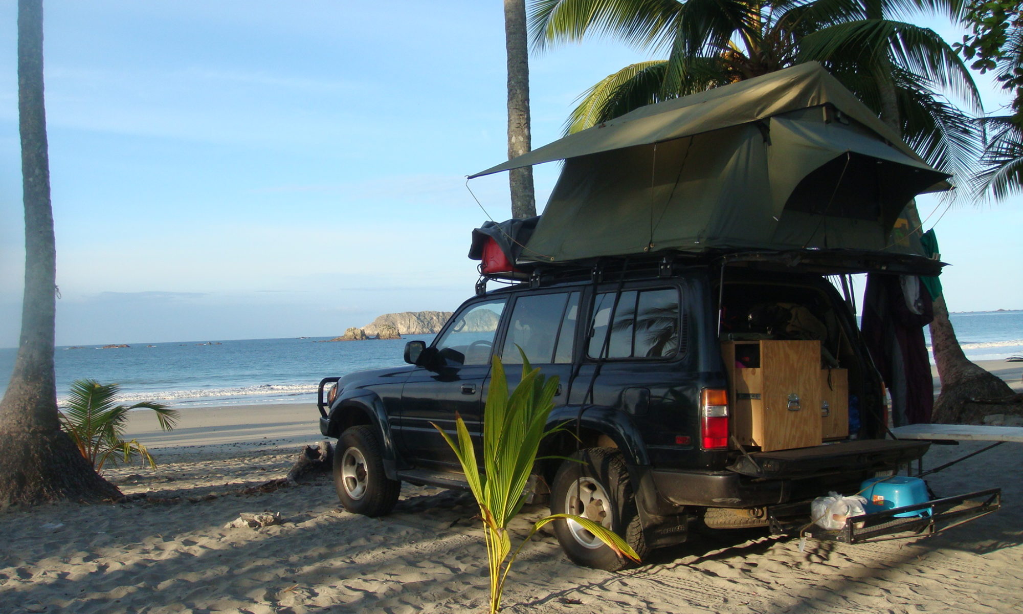
The first day of driving was one of the hottest we got so far. Hot and dry. I hear Colombia is in the middle of a drought, which doesn’t help. I drove 500 kilometers (310 miles), and we stopped to camp in a farm. At night, we played dominoes with the kids. Such hot climate is difficult, because in the morning and evening, you REALLY want to take a shower, which can be hard. When it’s not so hot, we can take a shower every two days, and take care of the rest of our needs with buckets of water. Luckily, on this precise night, we were able to take a shower at the farm.
The following day, shortly after we left, the road began to climb in the mountains toward Bucaramanga. We reached the big city in the afternoon, and took advantage of the populated place to go to a supermarket. It was somewhat difficult to find places to shop, as we crossed mostly small villages on our way.
After Bucaramanga, the road became one of the most beautiful I ever drove. The Canon del Chicamocha in particular is worth seeing before you die. As night felt, we reached the entrance of the national park of the same name. We tried our luck and asked if we could camp inside the park. They let us in after the police gave us the authorization, and we were given an amazing spot few meters from the canon. Probably the most notable place I slept since Guatemala.
If you happen to be around there, go to the park, find the administration building, ask them the authorization to camp, then go to the police building where they will take your plates and passport numbers. Te overall procedure takes ten minutes, and is free.
The morning after, the view was still as splendid, and we continued our way, up to 3,200 meters high (10,500 feet). The most beautiful part was right before reaching Tunja. From there we went west to spend the night in Villa de Leyva, a major touristic destination 150 km from Bogota.
There, we could not get anyone to let us camp, so we went deep in the hills, far from everything and tried to find a spot in the cold and lunar landscape. After picking one, took the table out, opened a beer, and began to set camp in the strange area. We didn’t stay for long. After few minutes, we began to hear a mysterious music and people singing in the night. Let me tell you that we were out of there in no time.
Later, in the center of Villa de Leyva, we found a camping, and were happy to pay US$10 to not be attacked by ghosts from an Indian cemetery.
In the evening and early morning, we spent time walking in the city. The town has been preserved since declared a national monument, in the 1950s. There is no modern building in the whole town of 13,000 inhabitants. Locals are really nice, and strolling across the place on the stone streets. Sights include large 120 meters by 120 meters may be the largest in the country and four churches round the center.
Next step, Bogota where Frank, the chief of the Andean news for the AP got us a spot for few nights.
Climbing the mountain toward Bucaramanga
There are two ways to reach the south of Colombia from Cartagena. One can take the west road using the Pan-American Highway through Medellin and Cali, or the east road, through Bucaramanga and Tunja. We took the latest, in part because it is less touristy, and also because there were some people we wanted to touch base with in the capital.
Along the east – or dry – route
After getting the containers guarantee back on Monday morning, we said good-bye to our French friends. They would use the other road, so we were splitting. We may meet them later, around Popayan.
The first day of driving was one of the hottest we got so far. Hot and dry. I hear Colombia is in the middle of a drought, which doesn’t help. I drove 500 kilometers (310 miles), and we stopped to camp in a farm.
At the farm
At night, we played dominoes with the kids. Such hot climate is difficult, because in the morning and evening, you REALLY want to take a shower, which can be hard. When it’s not so hot, we can take a shower every two days, and take care of the rest of our needs with buckets of water. Luckily, on this precise night, we were able to take a shower at the farm.
Mountain village
The following day, shortly after we left, the road began to climb in the mountains toward Bucaramanga. We reached the big city in the afternoon, and took advantage of the populated place to go to a supermarket. It was somewhat difficult to find places to shop, as we crossed mostly small villages on our way.
The Canon
After Bucaramanga, the road became one of the most beautiful I ever drove. The Canon del Chicamocha in particular is worth seeing before you die. As night felt, we reached the entrance of the national park of the same name.
Mountains as night fall
We tried our luck and asked if we could camp inside the park. They let us in after the police gave us the authorization, and we were given an amazing spot few meters from the canon. Probably the most notable place I slept since Guatemala.
Our campsite, overlooking the canon
If you happen to be around there, go to the park, find the administration building, ask them the authorization to camp, then go to the police building where they will take your plates and passport numbers. Te overall procedure takes ten minutes, and is free.
Breakfast in the early hours
The morning after, the view was still as splendid, and we continued our way, up to 3,200 meters high (10,500 feet). The most beautiful part was right before reaching Tunja.
North of Tunja
From there we went west to spend the night in Villa de Leyva, a major touristic destination 150 km from Bogota.
There, we could not get anyone to let us camp, so we went deep in the hills, far from everything and tried to find a spot in the cold and lunar landscape.
Villa de Leyva main plaza.
After picking one, took the table out, opened a beer, and began to set camp in the strange area. We didn’t stay for long. After few minutes, we began to hear a mysterious music and people singing in the night. Let me tell you that we were out of there in no time.
Iglesia del CarmenStreet of Villa de Leyva.
Later, in the center of Villa de Leyva, we found a camping, and were happy to pay US$10 to not be attacked by ghosts from an Indian cemetery.
In the evening and early morning, we spent time walking in the city. The town has been preserved since declared a national monument, in the 1950s. There is no modern building in the whole town of 13,000 inhabitants. Locals are really nice, and strolling across the place on the stone streets. Sights include large 120 meters by 120 meters may be the largest in the country and four churches round the center.
Street of Villa de Leyva.
Next step, Bogota where Frank, the chief of the Andean news for the AP got us a spot for few nights.