Looking for a boat in Panama

Following the Pan-American, going east toward Panama City

We arrived at the border with Panama at around 11:30 in the morning. As usual, kids who want to help jumped on us as soon as we showed up. Tired of it, we let one of them guide us through the complex circuit. As in every border crossing, we cancel the temporary import of the car, get our passports stamped out of Costa Rica, get the visa for Panama (US$2), get car insurance for a month in Panama (US$15) and make the temporary import for the truck (Free).

Costa Rica - Panama border crossing

This time we specify our exit point as being the harbor of Colon, on the Caribbean side. From there we should ship to Cartagena, Colombia.
Two hours later we are done. I buy some duty free merchandise, and we go with the car through fumigation to avoid importing illegal parasites.

Cordillera Central, dividing the north and south of Panama

Once we pass the border, we are at 500 kilometers from the capital and we don’t have enough time to make it before night. It is now Wednesday, and I want to use Thursday and Friday to find a shipping solution for the car.
200 kilometers from Panama City, we leave the Pan-American Highway to take a dirt road so we can find a camping spot. At the end of the path, 20 minutes later, we find a small village with no electricity and ask a family to camp around.
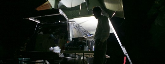
Every night cooking
Every night cooking

Nadia is tired as we took a lot of heat during the border crossing. She goes to bed, and I make diner and read. I am now able to spend a little bit of time with my books since we made it to Costa Rica. Before that, days were so busy I could not keep up with all the reading material I bring along. Recent readings include Jim Harrison “True North” (recommended), Richard Yates collection of short stories “Eleven kinds of loneliness” (recommended), Joseph Heller “Catch 22” (I did not like).
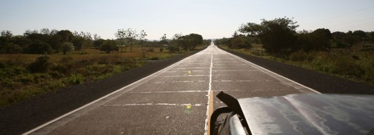
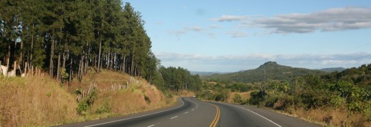
Another stretch of the Pan-American Highway

In the morning we wake up very early, thanks to our friends the roosters. Soon, we are back on the road, we find back the Pan-Am and continue our drive east.
Around 1 p.m., we pass the bridge above the Panama Canal. It’s exciting, as I am now getting ready to close the Central America chapter of the expedition.
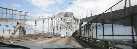
Passing the Panama Canal via the Puente de Las Americas

A bit later, we go and visit the first agent who gives us few quotes. I have been shopping around as well in the past, and got some help from a Panamian friend (Thanks Alberto!).
Also, we have been speaking with other travelers who are looking for a ride with their trucks, and we are hoping to get a group price. Basically, it looks like shipping will cost between US$900 to $1,350. That does not account for harbor fees on the Colombian side (an estimated $250).

Panama City
Panama City

As a reminder, it is impossible to drive from Panama to Colombia, since the Pan-American Highway is interrupted, and there are no roads to cross through the jungle for about 90-miles.
On Friday, I continue my research and speak with other agents. One of the options, which was to ship on a banana boat from Chiquita doesn’t work out. But our luck is that with the economic downturn, it is easier to find container boats with space available.

Puente de Las Americas, view from the Balboa Yacht Club
Puente de Las Americas, from the Balboa Yacht Club road

Since we arrived in the city, we camp at the entrance of the Canal, close to the Balboa Yacht Club. Here, we have access to water and internet, which is necessary for all the research I have to do. It is rare that these container boats take passengers, so we also have to book flight tickets (around US$200).

Arriving at the entrance of the Canal
Boat arrives at the entrance of the Canal

Also, I considered flying from Panama City to Puerto Obaldia, close to the border on the Panama coast. From there, it is possible to hop with speed boats to Colombia and take a bus to reach Cartagena. Unfortunately, the air strip is closed for renovation, and so there is no way to take the cheap (US$65) flight, and have a real look at the Darien Gap.
On Saturday, businesses are closed, so we take the opportunity to go visit Casco Viejo, the historical center of Panama City. We stroll along the old streets, and go to the fish market to have lunch (recommended). Casco Viejo is nice, and invaded by tourists. It is still pleasant, but the small streets get hot. We visit the Panama Canal Museum.
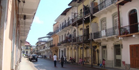
Typical street, Casco Viejo

Very interesting, but it is important to note that the exhibits are mostly made of long texts in Spanish, with no English translation available.
The first tentative to build the canal was made by France who failed and lost 22,000 men, mostly due to diseases carried by mosquitoes. After a Cuban doctor found how to eradicate them (the mosquitoes, not the French), an American attempt to build the Canal succeeded, and the first boat went through in 1914. Nowadays, there are 15,000 vessels going through every year, and it takes them 10-hours to go all the way.
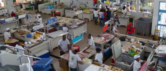
The fish market
The fish market

Casco Viejo is also the part of town where you find the cheapest hotels, and we will probably sleep there for a night after the car is in a container sailing to Colombia. After lunch, we go to the fruit market to buy food we will cook later. Then, we go back to our camp site.
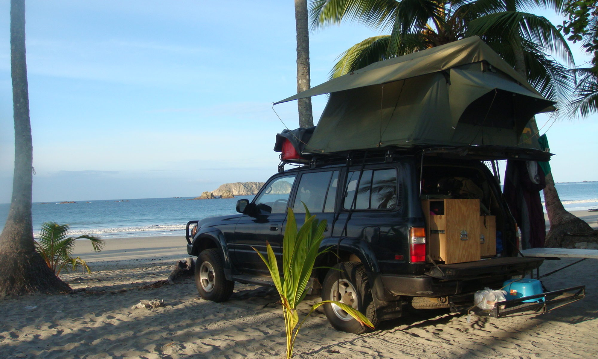
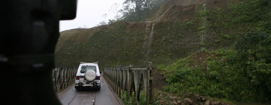
Reaching the Pan-American Highway

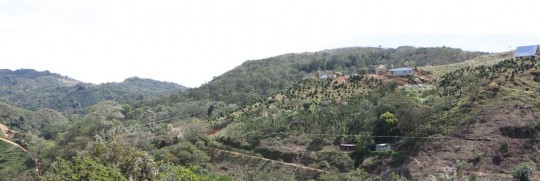
In the mountains of Costa Rica

The contrast was surprising between the in-land rainy weather and the light we found as soon as we passed the last mountain. We were back on the sunny side, and happy to be. We drove south-west to the coast, and followed it south.

Back on the sunny side

An astonishing aspect of Costa Rica is that even if the country is the most advanced of Central America – with Panama – there are less road signs than any other country, making navigation difficult. I have a GPS in the car, but maps are very difficult to find, so I’m back to paper maps since Guatemala.

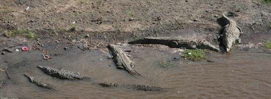
A stop for lunch and checking out crocodiles

Anyhow, late in the day we were in Quepos, trying to locate a place to sleep. We heard that the beach just in front of the National Park Manuel Antonio was a good place to camp. It was perfect for us, because it was now close to 5:30 p.m., the time when light begin to dim, which we also consider the time we need to have found a spot.

Another obstacle for the Trans World Expedition

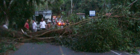
But of course, things are not so simple at the Trans World. As we were driving down to the beach, cars in front of us came to a quick stop. A tree, victim of strong winds, just came down on the road and made it impassable.
I was grateful it didn’t collapse on us, I have to say. As it felt, the tree also crushed the electricity lines, and we had no choice now but wait for the electricity company to come cut and clean the obstacle.
We sat down to drink beers and smoke cigarettes until it was done, two hours later.

The Costa Rica electrical company in action

We were back on the road in pitch black, and made it to the beach.
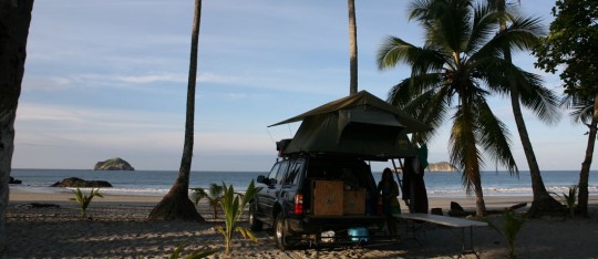
Costa Rica is great for campers, as apparently, you can just settle down anywhere you want. And in no hotel room you would be closer to the beach in the morning. Preparing Nicaraguan coffee at six a.m., on the sand as the sun rise has no price either.

Camping on the beach

Around noon, we let the car to go visit Manuel Antonio, and spent few hours there checking out multiple animal species and walking in the jungle. It was nice, but packed with tourist. Also, the animals come really close to you, which make me think they lost the fear of the human.

As soon as you enter the park, you can witness wildlife

I would think there are better parks to visit in Costa Rica, so if someone read these lines, please make suggestions for other travelers.

Monkey
Monkey

There are good beach in Manuel Antonio though, I have to add, and most tourist stop there, so you would not meet many people once in the jungle.

One of the park beaches

In the afternoon, we left and continued south. What used to be a dust road few year back when I went through the country became a brand new road, which was at the same time nice and a bit deceiving.

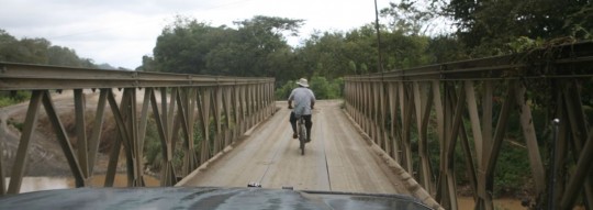
The road to Playa Tortuga still have some old bridges

Close to Playa Tortuga, we went back up inland to meet Fred, an American fellow from Washington State who now owns a hotel – Club Fred – on the coast. If you are around one day, you should check it out. The ambience was family oriented, and Fred invited us to join them for a tuna diner, along with ten other people, mostly Wisconsin residents taking refuge from the harsh winter.

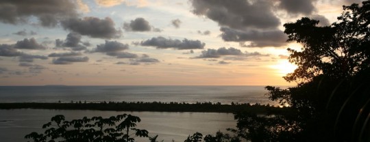
The view from Club Fred

He also insisted we take a room to get a good night of sleep (thanks Fred!), which was great after all the drinks we had.
The day after, we left early in the morning after filling up our reserves of drinking water to try to reach the border with Panama. Costa Rica is one of the only place you can drink the tap water.

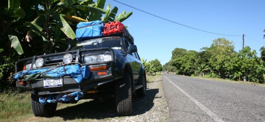
Back on the Pan-American highway

Few miles after leaving, we reached the Pan-American Highway we would follow until Panama City.