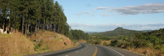
We arrived at the border with Panama at around 11:30 in the morning. As usual, kids who want to help jumped on us as soon as we showed up. Tired of it, we let one of them guide us through the complex circuit. As in every border crossing, we cancel the temporary import of the car, get our passports stamped out of Costa Rica, get the visa for Panama (US$2), get car insurance for a month in Panama (US$15) and make the temporary import for the truck (Free).

This time we specify our exit point as being the harbor of Colon, on the Caribbean side. From there we should ship to Cartagena, Colombia.
Two hours later we are done. I buy some duty free merchandise, and we go with the car through fumigation to avoid importing illegal parasites.

Once we pass the border, we are at 500 kilometers from the capital and we don’t have enough time to make it before night. It is now Wednesday, and I want to use Thursday and Friday to find a shipping solution for the car.
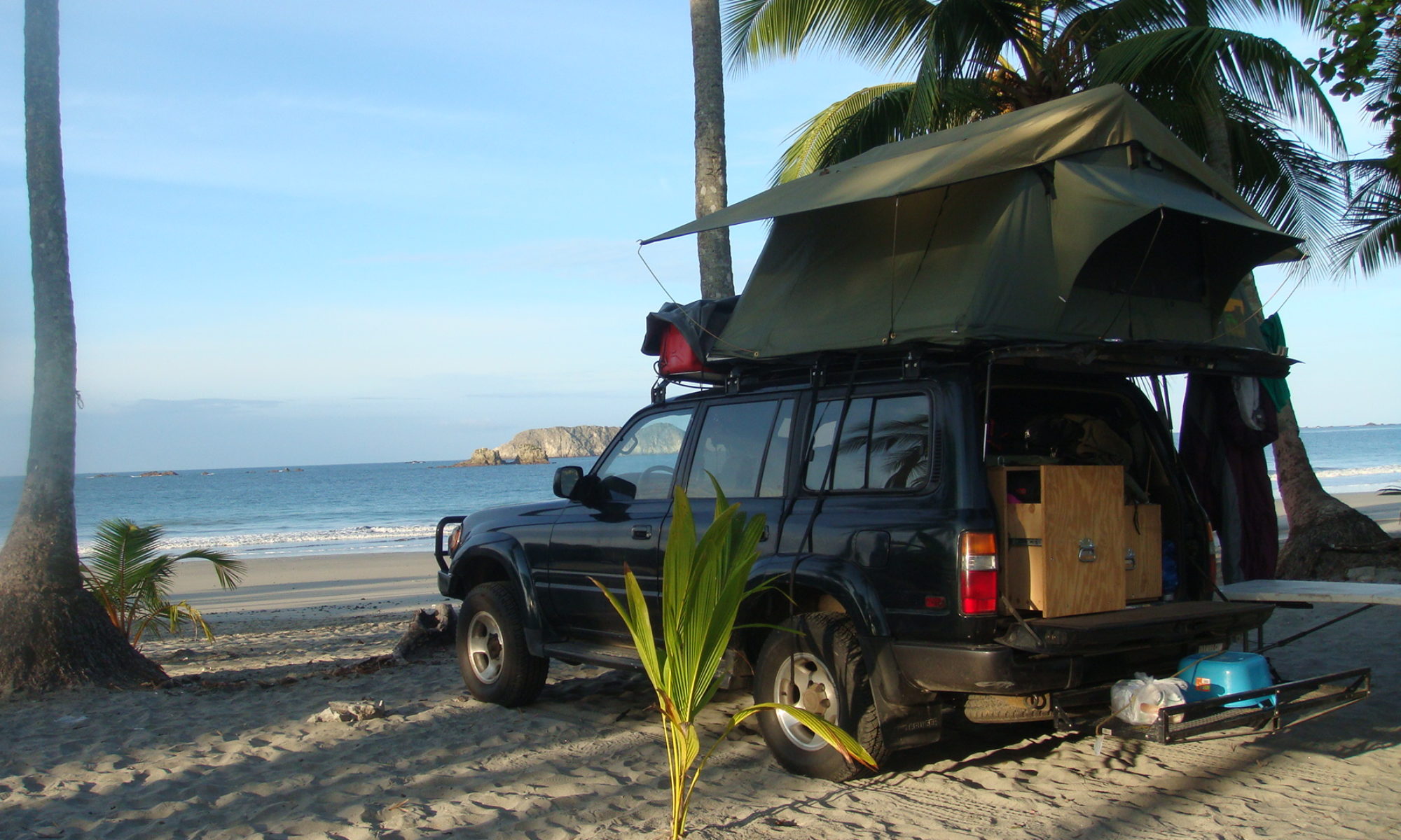
200 kilometers from Panama City, we leave the Pan-American Highway to take a dirt road so we can find a camping spot. At the end of the path, 20 minutes later, we find a small village with no electricity and ask a family to camp around.
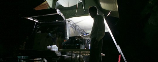
Nadia is tired as we took a lot of heat during the border crossing. She goes to bed, and I make diner and read. I am now able to spend a little bit of time with my books since we made it to Costa Rica. Before that, days were so busy I could not keep up with all the reading material I bring along. Recent readings include Jim Harrison “True North” (recommended), Richard Yates collection of short stories “Eleven kinds of loneliness” (recommended), Joseph Heller “Catch 22” (I did not like).
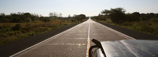
In the morning we wake up very early, thanks to our friends the roosters. Soon, we are back on the road, we find back the Pan-Am and continue our drive east.
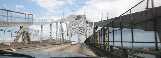
Around 1 p.m., we pass the bridge above the Panama Canal. It’s exciting, as I am now getting ready to close the Central America chapter of the expedition.
A bit later, we go and visit the first agent who gives us few quotes. I have been shopping around as well in the past, and got some help from a Panamian friend (Thanks Alberto!).
Also, we have been speaking with other travelers who are looking for a ride with their trucks, and we are hoping to get a group price. Basically, it looks like shipping will cost between US$900 to $1,350. That does not account for harbor fees on the Colombian side (an estimated $250).

As a reminder, it is impossible to drive from Panama to Colombia, since the Pan-American Highway is interrupted, and there are no roads to cross through the jungle for about 90-miles.
On Friday, I continue my research and speak with other agents. One of the options, which was to ship on a banana boat from Chiquita doesn’t work out. But our luck is that with the economic downturn, it is easier to find container boats with space available.

Since we arrived in the city, we camp at the entrance of the Canal, close to the Balboa Yacht Club. Here, we have access to water and internet, which is necessary for all the research I have to do. It is rare that these container boats take passengers, so we also have to book flight tickets (around US$200).

Also, I considered flying from Panama City to Puerto Obaldia, close to the border on the Panama coast. From there, it is possible to hop with speed boats to Colombia and take a bus to reach Cartagena. Unfortunately, the air strip is closed for renovation, and so there is no way to take the cheap (US$65) flight, and have a real look at the Darien Gap.
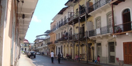
On Saturday, businesses are closed, so we take the opportunity to go visit Casco Viejo, the historical center of Panama City. We stroll along the old streets, and go to the fish market to have lunch (recommended). Casco Viejo is nice, and invaded by tourists. It is still pleasant, but the small streets get hot. We visit the Panama Canal Museum.
Very interesting, but it is important to note that the exhibits are mostly made of long texts in Spanish, with no English translation available.
The first tentative to build the canal was made by France who failed and lost 22,000 men, mostly due to diseases carried by mosquitoes. After a Cuban doctor found how to eradicate them (the mosquitoes, not the French), an American attempt to build the Canal succeeded, and the first boat went through in 1914. Nowadays, there are 15,000 vessels going through every year, and it takes them 10-hours to go all the way.
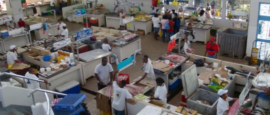
Casco Viejo is also the part of town where you find the cheapest hotels, and we will probably sleep there for a night after the car is in a container sailing to Colombia. After lunch, we go to the fruit market to buy food we will cook later. Then, we go back to our camp site.
Took this long to figure out how to leave a comment. LOL
Our family really enjoys watching your adventure unfold. It’s great to see someone following their dream and sharing the experience along the way. We’re wishing you safe travels and good fortune in your journey. We all hope no more big problems with your SUV.
May there be people to help when you need it. Be safe!! Podgorseks
Hey Nick, Glad to see you are moving again!
container is the way to go. Yep downturn in the shipping for sure. i do Longshore work for a living in Seattle and around 2004-06 was a huge boom that has since lost. Work is slowing down all over the world. My Brother Vice Pres. for AIG Maritime Global Division see’s this first hand. Many Ships in Japan and a like are Gost Ship filled with empty conainers on all of them. 100’s of ships lined up. Just sitting.
—–The ‘ghost fleet’ near Singapore. The world’s ship owners and government economists would prefer you not to see this symbol of the depths of the plague still crippling the world’s economies—-
The tropical waters that lap the jungle shores of southern Malaysia could not be described as a paradisical shimmering turquoise. They are more of a dark, soupy green. They also carry a suspicious smell. Not that this is of any concern to the lone Indian face that has just peeped anxiously down at me from the rusting deck of a towering container ship; he is more disturbed by the fact that I may be a pirate, which, right now, on top of everything else, is the last thing he needs.
His appearance, in a peaked cap and uniform, seems rather odd; an officer without a crew. But there is something slightly odder about the vast distance between my jolly boat and his lofty position, which I can’t immediately put my finger on.
Then I have it – his 750ft-long merchant vessel is standing absurdly high in the water. The low waves don’t even bother the lowest mark on its Plimsoll line. It’s the same with all the ships parked here, and there are a lot of them. Close to 500. An armada of freighters with no cargo, no crew, and without a destination between them.
My ramshackle wooden fishing boat has floated perilously close to this giant sheet of steel. But the face is clearly more scared of me than I am of him. He shoos me away and scurries back into the vastness of his ship. His footsteps leave an echo behind them.
Navigating a precarious course around the hull of this Panama-registered hulk, I reach its bow and notice something else extraordinary. It is tied side by side to a container ship of almost the same size. The mighty sister ship sits empty, high in the water again, with apparently only the sailor and a few lengths of rope for company.
Nearby, as we meander in searing midday heat and dripping humidity between the hulls of the silent armada, a young European officer peers at us from the bridge of an oil tanker owned by the world’s biggest container shipping line, Maersk. We circle and ask to go on board, but are waved away by two Indian crewmen who appear to be the only other people on the ship.
‘They are telling us to go away,’ the boat driver explains. ‘No one is supposed to be here. They are very frightened of pirates.’
Here, on a sleepy stretch of shoreline at the far end of Asia, is surely the biggest and most secretive gathering of ships in maritime history. Their numbers are equivalent to the entire British and American navies combined; their tonnage is far greater. Container ships, bulk carriers, oil tankers – all should be steaming fully laden between China, Britain, Europe and the US, stocking camera shops, PC Worlds and Argos depots ahead of the retail pandemonium of 2009. But their water has been stolen.
They are a powerful and tangible representation of the hurricanes that have been wrought by the global economic crisis; an iron curtain drawn along the coastline of the southern edge of Malaysia’s rural Johor state, 50 miles east of Singapore harbour.
It is so far off‑ the beaten track that nobody ever really comes close, which is why these ships are here. The world’s ship owners and government economists would prefer you not to see this symbol of the depths of the plague still crippling the world’s economies.
So they have been quietly retired to this equatorial backwater, to be maintained only by a handful of bored sailors. The skeleton crews are left alone to fend off‑ the ever-present threats of piracy and collisions in the congested waters as the hulls gather rust and seaweed at what should be their busiest time of year.
Local fisherman Ah Wat, 42, who for more than 20 years has made a living fishing for prawns from his home in Sungai Rengit, says: ‘Before, there was nothing out there – just sea. Then the big ships just suddenly came one day, and every day there are more of them.
‘Some of them stay for a few weeks and then go away. But most of them just stay. You used to look Christmas from here straight over to Indonesia and see nothing but a few passing boats. Now you can no longer see the horizon.’
The size of the idle fleet becomes more palpable when the ships’ lights are switched on after sunset. From the small fishing villages that dot the coastline, a seemingly endless blaze of light stretches from one end of the horizon to another. Standing in the darkness among the palm trees and bamboo huts, as calls to prayer ring out from mosques further inland, is a surreal and strangely disorientating experience. It makes you feel as if you are adrift on a dark sea, staring at a city of light.
Ah Wat says: ‘We don’t understand why they are here. There are so many ships but no one seems to be on board. When we sail past them in our fishing boats we never see anyone. They are like real ghost ships and some people are scared of them. They believe they may bring a curse with them and that there may be bad spirits on the ships
As daylight creeps across the waters, flags of convenience from destinations such as Panama and the Bahamas become visible. In reality, though, these vessels belong to some of the world’s biggest Western shipping companies. And the sickness that has ravaged them began far away – in London, where the industry’s heart beats, and where the plummeting profits and hugely reduced cargo prices are most keenly felt.
The Aframax-class oil tanker is the camel of the world’s high seas. By definition, it is smaller than 132,000 tons deadweight and with a breadth above 106ft. It is used in the basins of the Black Sea, the North Sea, the Caribbean Sea, the China Sea and the Mediterranean – or anywhere where non-OPEC exporting countries have harbours and canals too small to accommodate very large crude carriers (VLCC) or ultra-large crude carriers (ULCCs). The term is based on the Average Freight Rate Assessment (AFRA) tanker rate system and is an industry standard.
Ps I’ll sent Photo’ to Nadia email.
Are you still having to pop the hood to vent the engine? If so, wow that sucks, sorry. I have to say you have taken some great photos so far, already two of them have made it as my desktop background.
Glad to see you guys arrived safely in Panama. It might be cool to include a map with each post so that we can quickly see where you guys are on the route.
Keep up the great work!
If any help, my Karin wrote some interesting articles concerning shipping:
http://accessible-transportation.suite101.com/article.cfm/how_to_find_a_shipping_schedule_to_ship_a_car
and:
http://accessible-transportation.suite101.com/article.cfm/what_determines_a_car_shipping_rate
I hope your shipping goes OK!! Good luck
Adventurous greetings,
Coen
http://www.landcruising.nl
JJ,
I have found the best way to keep track of where they are on the map is to use the weather channel and zoom in on the locations. (I’m not very savy with geography either.) I’m not sure how this will work when they get in the other countries.
It seems like on this end, that the real adventure is really starting. To me it appears that leaving the country by boat or plane your really headed for somewhere.
So happy you two have had a few days of good traveling. Here’s to a cheap transportation cost.
Marti
Hi Nic. A friend of mine has her two children who tried to reach Puerto Obaldia from Panama City. They had to take a plane to a Panamean island in, then a boat to Puerto Obaldia, and an other boat to reach Colombia.
Hi to Nadia as well
It can be done, I tell you! And it has been done, in the 60’s check this out:
http://www.geocities.com/~landroverpty/trans.htm
Adventurous greetings,
Coen
Cartagena de Indias! My ex wife’s city. I was there about 15 years ago. Beautiful city, gorgeous women, party atmosphere. If you get to the beach make sure you get a live performance by one of those Vallenato groups. They roam the beach and play for about US $5.00. Vallenato is the melodic, melancholic and romantic music of Colombia. I still know some people there, feel free to contact me for any assistance. Take care and hi to Nadia.
If you decide to choose boat rather than plane, the Colombian border is very nice and quiet.
Nice beaches et landscapes around Sapzurro (La Miel) & Capurgana/Aguacate etc…
A boat to the ugly Turbo will take 2 hours & 25 USD. Not a nice journey if the sea is a bit rough.
Then Minibus to Monteria till Cartagena.
All in all, if you don’t have any issues from Capu till Cartagena, you can arrive around 9PM. But the area around Monteria seems to be nice if you have time.
Love, love, L-O-V-E, your blog. Keep it coming!! Best of luck to you!
I enjoyed reading your post above. I hope you keep your site going, often the sites I find and enjoy seem to run out of steam and then grind to a halt.Keep up the good work!
Hi Nicolas ! Tu ne finiras pas de m’étonner 🙂 Bravo pour faire ce que tant de personnes rêvent de faire… Et surtout de le faire partager sur ton blog. En tout cas je te suis…
Bises et bon voyage
You made it to Colombia! Congrats Nick and Nadia. Your pictures are great, looking forward to the Cartagena pictures. Take care.